|
Last school year my sixth graders worked so hard on their BIG Maps! They showed all the major lines of latitude and longitude, plotted the coordinates for all the continents, and added details. It was a long road, but the final products were incredibly worth it in the end!
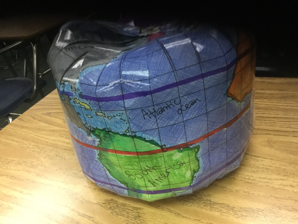
The one posted to the left is a final product from two years ago! What a great job this student did! The other pictures show the beginning stages from last year. We have only just begun to work on the maps this year, and I'm sure the final products will be just as amazing! This is a PBL (Project Based Learning) experience that was suggested to me when I first began teaching Sixth Grade World Geography three years ago. The project has come a long way since our first attempt. I've added some components that I felt were missing and taken some out that didn't seem to work as well. Click the top link below to find the original project (Globe Project) and see if this might work in your World Geography classes. You can also click the bottom link for my email address to find out about the many changes I've made for my classes. |
The LINES
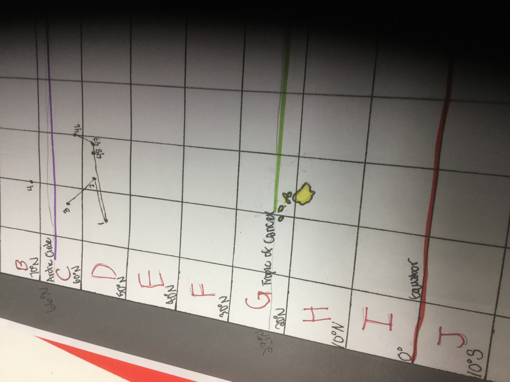
While most of the lines were already on the maps for last year's classes, the students did have to add a few more to complete the maps. Plus all the lines needed the correct coordinates written on them.
|
The CONTINENTS
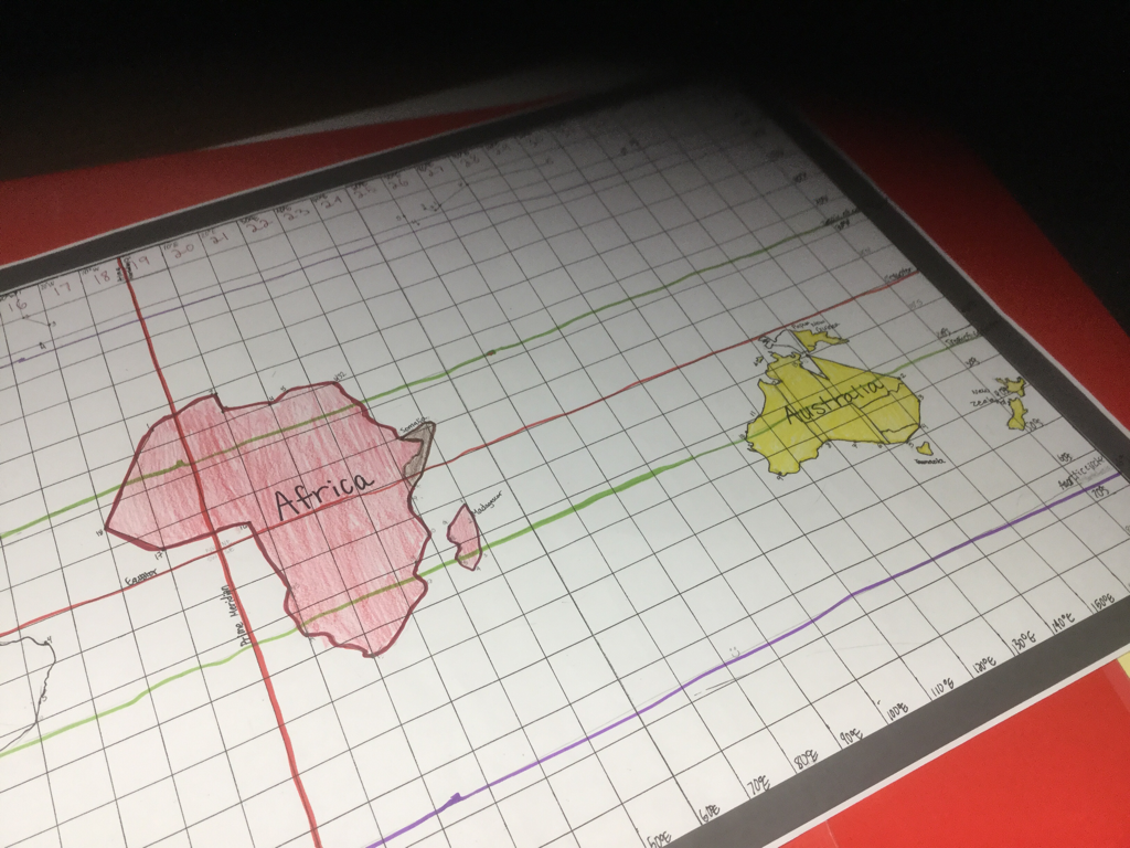
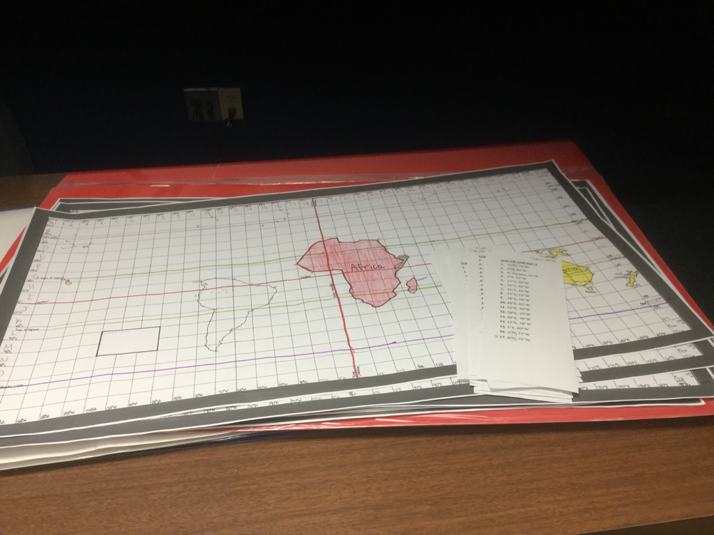
We worked continent by continent. As we studied a continent, we plotted the coordinates and drew them on the map. If we had time, we added special features that we studied about that continent.
|
The MAP
The final product is always something great that each class looks forward to! It's great to finally have the world truly at our fingertips......
|
